Learn about using FarmLab's cadastral boundaries for your environmental projects.
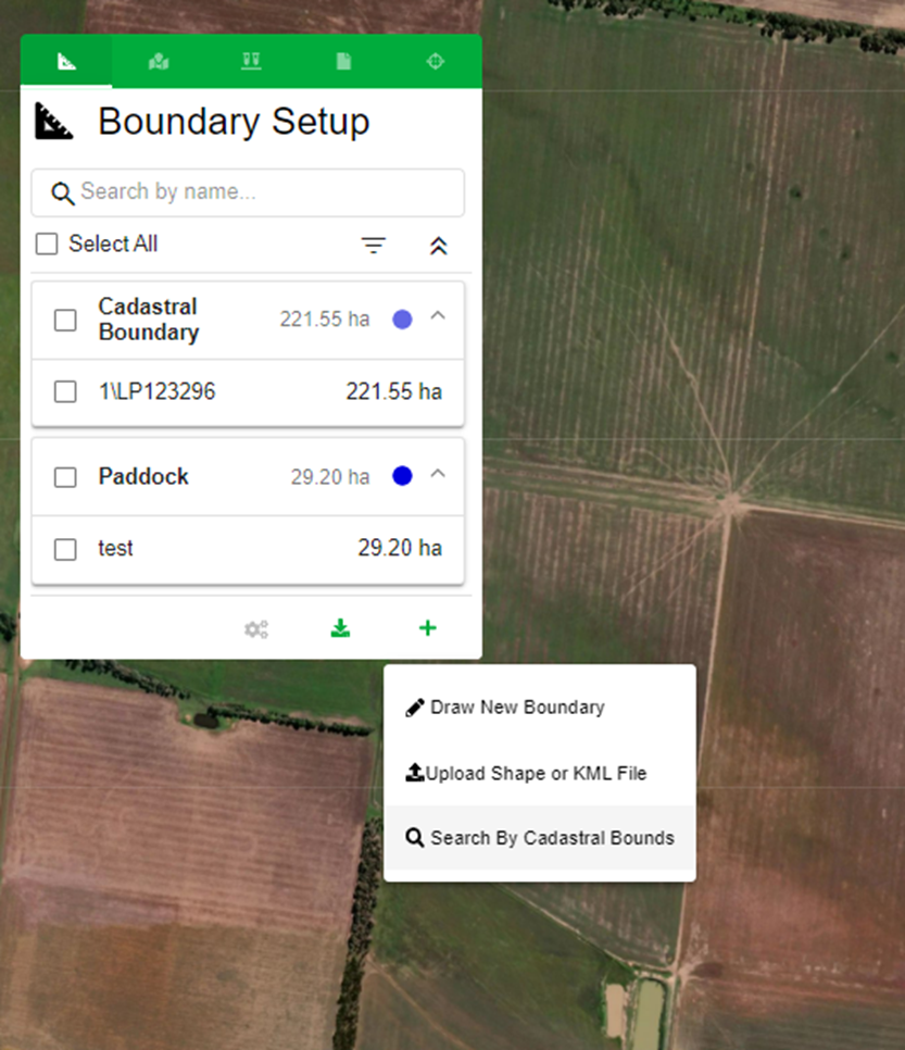
FarmLab does provide cadastral boundaries for all states in Australia. You can access these boundaries through the 'search cadastral boundaries' option while setting up a farm in FarmLab.
When it comes to developing sample plans for regulated or voluntary soil carbon projects, we highly recommend starting with the government-derived cadastral boundaries. These boundaries can be directly linked to the landholder through rates notices or legal land titles. For smaller projects, such as soil carbon projects in tree crops, conducted under the CER 'row crop' method, we suggest obtaining orthorectified photographs from partner surveyors. This is necessary due to the precise mapping requirements of the strata in these projects, where strata are usually delineated based on rows, mid-row areas, and inter-row spaces.